In a few days, a fire wave would change the photo to black in this territory ⬇️
With extreme heat, the most devastating fires began. On August 11 you can see a column of smoke north of Molezuelas de la Carballeda, of the fire that would end up crossing from Zamora to León.
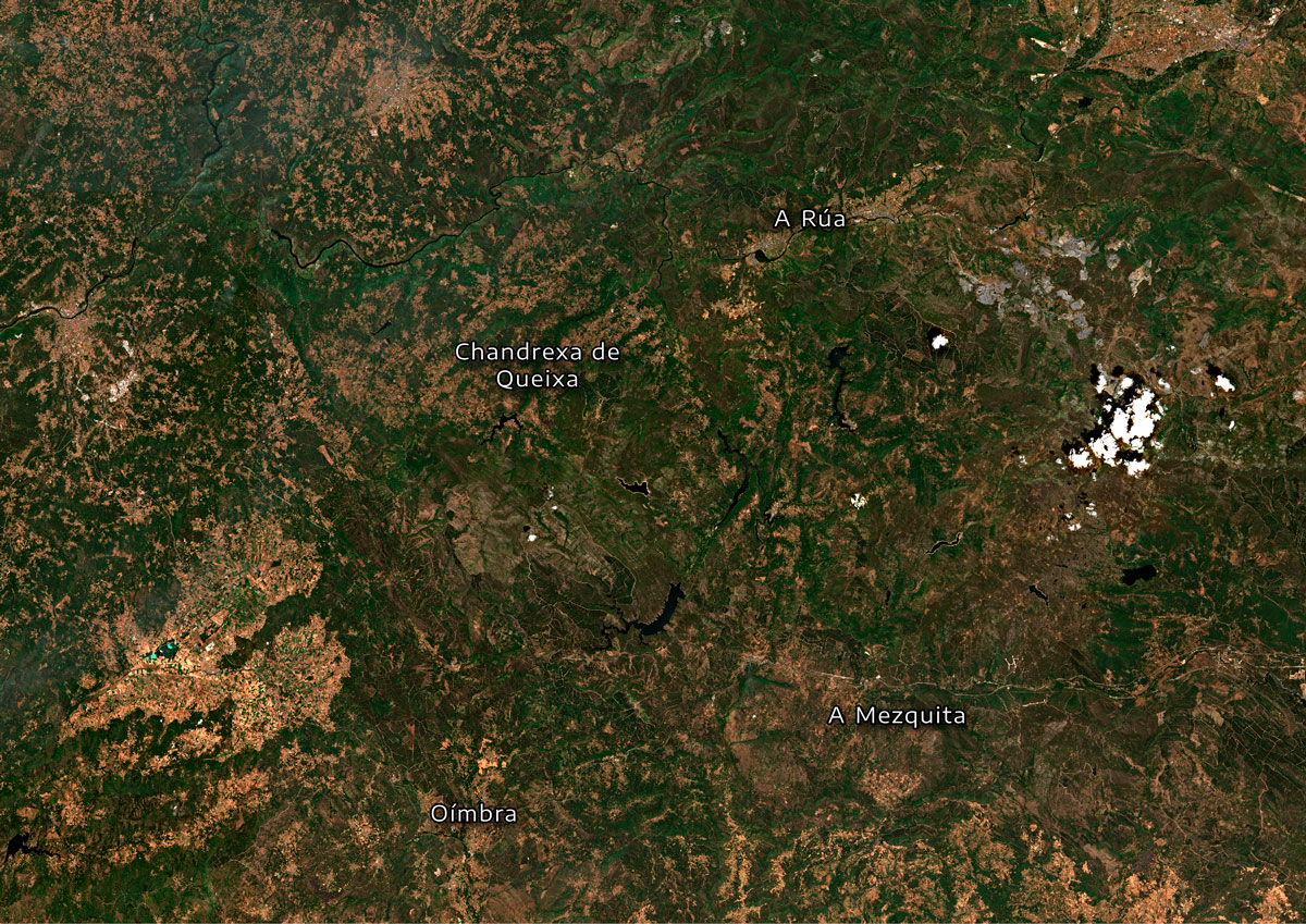
More smoke also leaves Chandrexa de Queixa, in Ourense, where the fire has been burning for three days and the burned terrain is already observed.
Two days later, fires multiply in the area. To the south of Ourense you can see the smoke of two new fires: in a mosque and in oimbra.
In the Zamora-León fire, the flames advance at full speed and sweep more than 30,000 hectares in just two days. This fire will end up being the second that has burned the most hectares since we have records …
In this satellite image, taken two days later from the start of fire, the great column of smoke of this fire is observed, as well as that of A Veiga, in the same province, which began on the 15th. This day coincides fires burning at the same time in the entire area.
Two weeks after the start of this wave of large forest fires, satellites capture a very changed image of the territory.
A dozen large fires in the area accumulate 250,000 hectares burned in these fateful weeks of August, leaving, for now, the worst fire season of the last 30 years.
From the space, the large extensions of calcined territory are already appreciated. The fingerprints leave a landscape full of ash in the northwest peninsular.
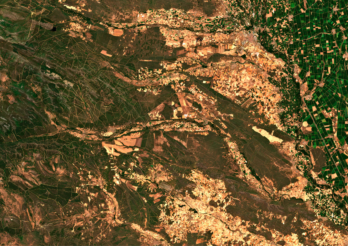
The last image shows again the landscape prior to fires, a graphic reminder of the magnitude of the disaster lived in these weeks.
So far from 2025, satellite images show the destruction of at least 400,000 hectares for fire. Most of the calcined areas this summer are concentrated in a very specific area of the territory: the interior provinces of the northwest of the peninsula. 70% of the hectares burned this year are in Ourense, Zamora and León, distributed over twenty large fires.
Through the images of the satellites of the European Copernicus program, we can reconstruct the rapid sequence of the great fires that have calcined thousands of hectares this August 2025 in Spain.
The great fires that occurred mainly in Ourense in August 2025
Fuente: Copernicus
This area has more propitious peculiarities to fires than other regions of the Peninsula. Its intricate orography and its forests full of particularly flammable plant species such as heather, retama and reforested pines for decades favor the rapid advance of fire. Another key that has aggravated the situation is depopulation. With less agriculture and less livestock, biomass has no counterweight.
These factors have been aggravated by this year's weather. The climate of the area itself is prone to a strong contrast between the humidity of the rainy period and the dry summer. This spring the intense rainy period lasted two and a half months, more than usual, while August brought a 16 -day heat wave, of the longest recorded.
In this context, the most devastating fires season has arrived since at least 1994, according to data from the European Forest Fire Information System (EFFIS). This calculation only includes the fires of more than 30 hectares that have been identified by satellite images and of which the surface has been measured. An impact that can be seen from space.
If we get closer, we can see the rapid devastation caused by these large forest fires. Between Mozuelas de Carballeda and Quintana's nail he turned on a fire that spread through Zamora and León and is, for now, the second worst of the season.
It began on August 10 in Molezuelas de la Carballeda and has left about 40,000 hectares burned
Fuente: Copernicus
Together, this wave of fires has left almost 300,000 hectares distributed in about twenty fires in the interior provinces of the peninsular northwest, including León, Ourense, Palencia, A Coruña, Zamora, Lugo, Pontevedra and Asturias.